A Boat of My Own

I’ve been rowing rivers for 30+ years, but until last year I never owned my own raft. The University of Utah where I work has an outdoor rental shop and it seemed easier to let someone else store and maintain the gear. But then my two kids went off to college and I turned into a sixty-something empty nester. When Jack’s Plastic Welding offered a sale price on my dream boat I thought, it’s now or never, and placed an order for a bright red Cutthroat II Cataraft. It’s small enough so that I can move and assemble the parts by myself but large enough to carry group gear for a week.
If you look at rafting videos on the Internet (which are like cat videos for river runners), you’ll notice that there are almost no older women. There are young bros, and grizzled old men and river babes in colorful skirts and sarongs, but nobody who could be a grandmother. It's true out on the river, too. There are a few women raft guides, but in private groups nearly all the rowers are men. Why? I have some theories, but fundamentally I think it’s because men own the boats, so they tend to manage the oars.
For the past 13 years I’ve done at least one river trip annually with a group of families. Our daughters are all the same age. Last summer we ran the main Salmon River in Idaho, and the girls (now 18-19) took charge of one of the rental rafts to row themselves down all 80 miles. I rode along in order to coach them through some of the larger rapids, but I never had to take the oars. Even though I love to row, it was genuinely a peak experience to see how over the years our little river girls have grown up and developed the skills and knowledge to row their own raft.
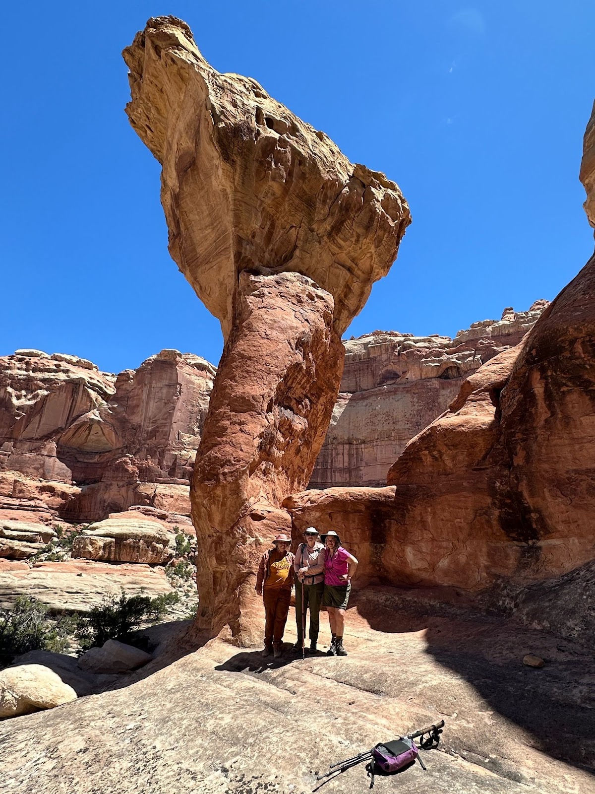
This summer I got another chance to run the main Salmon, this time rowing my own new boat. I’d had the Cutthroat out on some mild rivers, but not yet on anything above class II rapids. Before we went, I joked that I would find out if I can really row as well as I think I can. Honestly, I was a little worried. On the first big rapid, a wave knocked me off the rowing seat, but I held onto the oars and kept rowing. I soon realized that even if waves were pushing the boat around more than I was used to, I could stay with it. By the end of the trip, I felt connected to the soul of the boat. At one stop we were chatting with another rafting party and a woman commented, “I love your boat”. “I love it too,” I said.